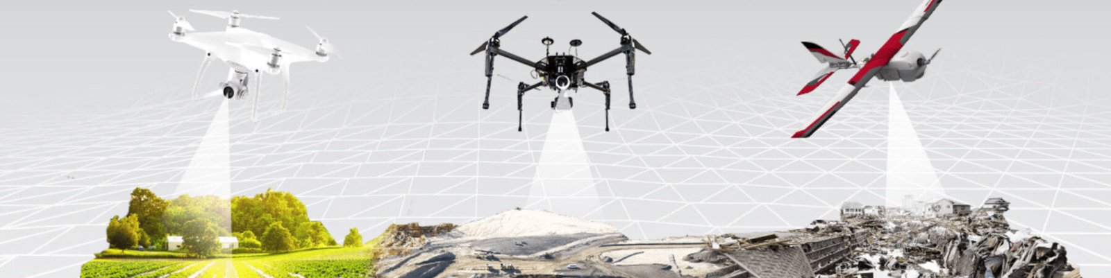
We specialize in advanced drone mapping solutions designed to transform how you see and manage the world around you. By leveraging state-of-the-art UAV technology, high-resolution imaging, and cutting-edge analytics, we deliver unparalleled insights for industries ranging from agriculture to construction, real estate, environmental conservation, and beyond.
Whether you're monitoring crop health, planning a construction project, managing natural resources, or assessing disaster zones, our drone mapping services provide the accuracy, efficiency, and clarity you need to make informed decisions.
We provide cutting-edge drone mapping solutions tailored for infrastructure surveys, delivering precision, speed, and actionable insights that transform infrastructure planning, monitoring, and maintenance. Here’s how our services enhance operations in these sectors:
1. Route Planning and Feasibility Studies
2. Construction Monitoring and Progress Tracking
3. Asset Inspection and Maintenance
4. Disaster Response and Recovery
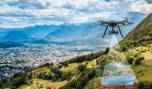
We empower mining operations with advanced drone mapping solutions that deliver unmatched efficiency, safety, and precision. From exploration to reclamation, our services revolutionize the way mining companies manage their operations, ensuring smarter decisions and greater productivity.
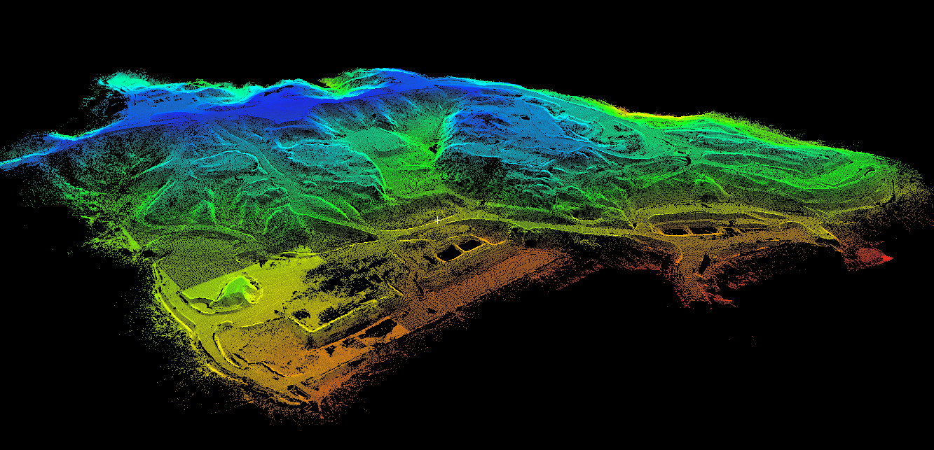
1. Resource Exploration
2. Mine Planning and Design
3. Operational Monitoring and Safety
4. Environmental Monitoring and Compliance
6. Post-Mining Land Use
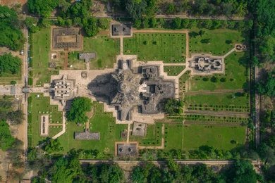
we bring cutting-edge drone technology to the field of archaeology, enabling researchers and conservationists to uncover, document, and preserve history like never before. Our drone mapping solutions provide detailed insights and accurate data, transforming the way archaeological sites are explored and protected.
1. Site Discovery and Exploration
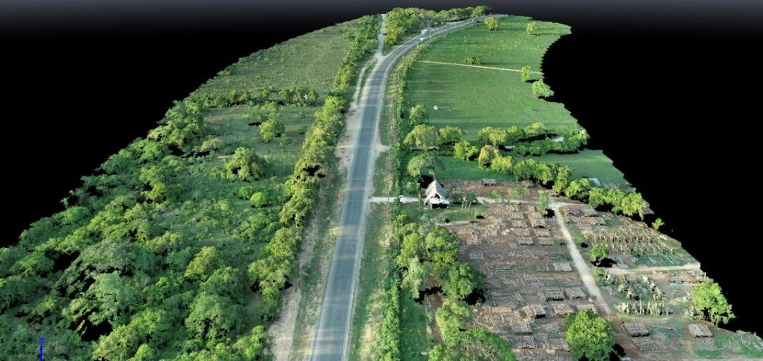
2. Documentation and Mapping
3. Preservation and Conservation
4. Planning Excavations
5. Public Engagement and Education
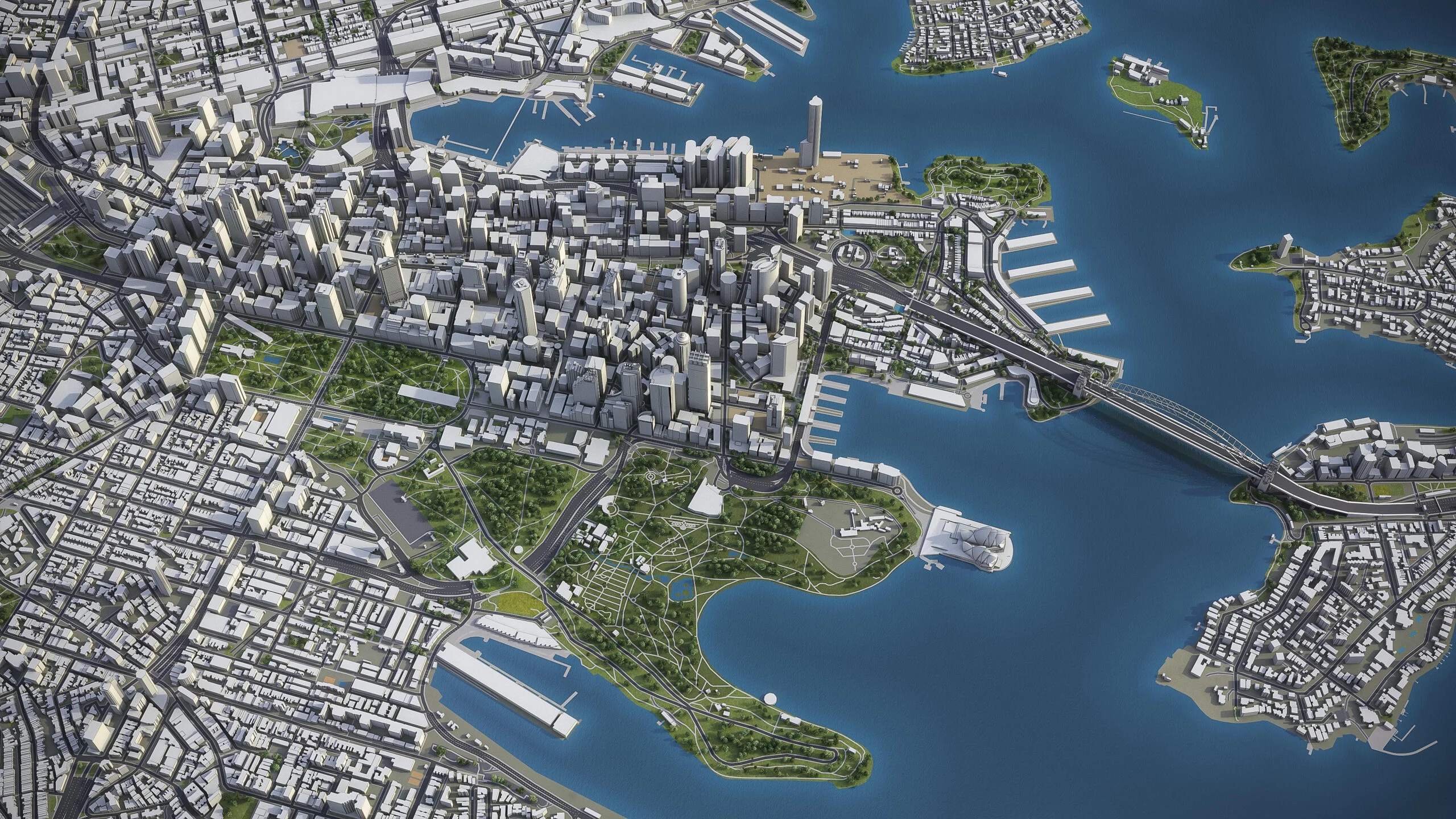
we leverage advanced drone mapping technology to deliver unparalleled insights for real estate and urban planning. Whether you're showcasing properties, developing city layouts, or managing infrastructure projects, our solutions provide high-resolution visuals and accurate data to bring your vision to life.
1. Real Estate Development
2. Urban Planning and Development
3. Construction Monitoring
4. Land Use and Zoning
5. Disaster Assessment and Recovery
No account yet?
Create an Account